Hier, la NOAA a publié ses perspectives mensuelles pour septembre 2025. Vous trouverez ci-dessous un résumé pour ceux qui ne connaissent pas la terminologie météorologique et la discussion complète plus bas pour ceux qui le sont.
Tl; dr: Septembre 2025 devrait être plus chaud et plus sec que la normale dans une grande partie des Rocheuses et de Mountain West, réduisant les chances de neige en début de saison, tandis que certaines parties du sud-est et de l'Alaska verront un temps plus humide, mais il est toujours peu probable qu'il obtienne une neige importante. Les skieurs et les snowboarders devraient anticiper un début lent à la saison des neiges américaines.
Faits saillants de la température
Plus chaud que la normale:
Conditions typiques:
Présentation des précipitations
Plus sèche que la normale:
Plus humide que la normale:
Perspectives moyennes:
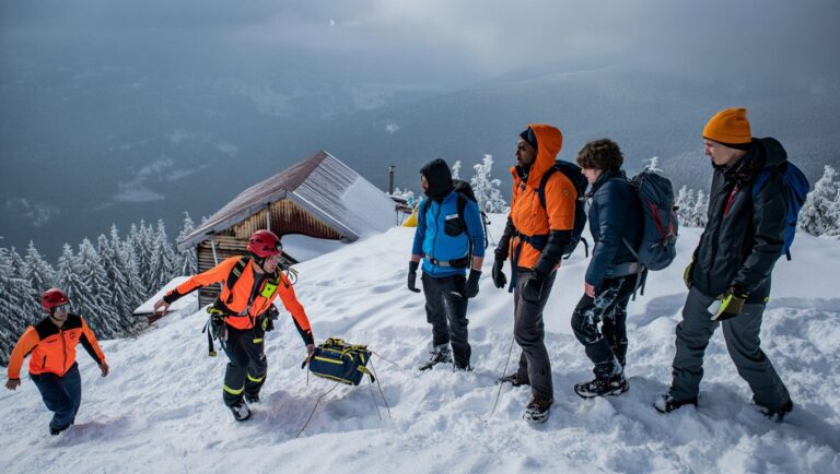
Potentiel de neige pour septembre
Alors que septembre est encore très tôt pour la neige généralisée dans la plupart des régions de ski, les poches des hautes rochers et les cascades obtiennent parfois leurs premières poussières. Cette année, cependant, les prévisions de conditions plus chaudes et plus sèches dans ces zones suggèrent peu de neige naturelle, nous devrons donc attendre d'octobre pour un début de saison plus significatif. Si vous espérez des virages anticipés, les meilleurs paris seront dans les altitudes les plus élevées et dans des régions comme l'Alaska ou les montagnes du sud-est, où les précipitations seront au-dessus de la normale, même si celles-ci verraient plus probablement la pluie que l'accumulation de neige ce mois-ci.
En résumé
Attendez-vous à des conditions douces et sèches dans une grande partie de la montagne ouest, avec des perspectives limitées de neige skiable précoce. Le sud-est et l'Alaska pouvaient voir un temps plus humide, mais les températures chaudes rendent toujours la neige rare. Gardez un œil sur les sommets élevés et restez à l'écoute pour toutes les surprises fraîches.

Septembre 2025 Outlook Discussion complète
30-DAY OUTLOOK DISCUSSION FOR SEPTEMBER 2025

El Niño Southern Oscillation (ENSO) neutral conditions are present with sea
surface temperatures (SSTs) near average across most of the equatorial Pacific
Ocean. The Madden-Julian Oscillation (MJO) is currently characterized by its
enhanced convective phase crossing the Indian Ocean, with the bulk of the
associated tropical rainfall located over the Maritime Continent region. The
latest MJO forecasts from dynamical models  indicate considerable uncertainty in
the expected evolution of the MJO during the next several weeks.

The September 2025 Temperature and Precipitation Outlooks are based on a
combination of dynamical models , including CFSv2, the North American
Multi-Model Ensemble (NMME), the Copernicus Climate System (C3S), and to a
lesser extent statistical models/tools such as the Canonical Correlation
Analysis (CCA), Constructed Analog on Soil moisture (CAS), Optimal Climate
Normals (OCN), and a combined ENSO-OCN tool. The monthly outlooks are also
based on dynamical models  and statistical tools for the Weeks 3-4 period which
cover the early and middle thirds of September. Uncertainty regarding the
evolution of the MJO precluded its use as a viable tool in the construction of
the September outlook. Impacts from the MJO will be re-evaluated at the end of
the month for the updated version of this Outlook. Local SSTs and antecedent
soil moisture anomalies also contributed to this outlook where applicable.

The September 2025 Temperature Outlook favors above-normal temperatures across
most of the Contiguous United States (CONUS). The regions of highest
probabilities (reaching 60 to 70%) are located over the upper Four
Corners/central Rockies area and over New England. For the former region over
the West which includes a broader 50-60% area encompassing much of the Interior
West, Rockies, and southern High Plains, the outlook is consistent with a
majority of the dynamical and statistical tools. A somewhat broader 50-60% area
is also favored over most of the Northeast, based on many of the dynamical
models/tools, historical trends  (as indicated by the OCN tool), and to some
extent the proximity of relatively warm coastal waters of the western Atlantic.
Elsewhere, probabilities favoring above-normal temperatures are elevated
(50-60%) over most of the Florida Peninsula, based on various tools and a
strong trend signal. From the north-central CONUS to the Gulf and Southeast
coasts (excluding Florida), discrepancies between models and comparatively
weaker overall warm signals  compared to other portions of the CONUS call for
modest probabilities tilting toward above-normal temperatures (33-40%). For the
coast of southern California, Equal Chances (EC) of above, near, and
below-normal temperatures are favored due to the proximity of near to
below-normal sea-surface temperatures (SSTs) near the coast. In Alaska,
above-normal temperature chances are elevated over the western and southern
Mainland, the Alaska Peninsula and eastern Aleutians, and Southeast Alaska.
This is largely attributed to the calibrated C3S tool, persistence of the area
of agreement between the ECMWF and GEFS Weeks 3-4 temperature tools, and
relatively warm coastal SSTs. The higher chances for above-normal temperatures
(50-60%) over northwestern portions of the Mainland are based on historical
trends that favor a delay in the onset of sea ice formation. For the remainder
of the Mainland and the western Aleutians, EC is favored.

The September 2025 Precipitation Outlook favors elevated odds of above-normal
precipitation from the eastern Gulf region (including Florida) across the
Southeast and Mid-Atlantic coast. Much of the dynamical and statistical
guidance warrants these elevated odds of above-normal precipitation, as does
the climatological peak of Atlantic tropical cyclone activity in September. In
addition, this enhanced wet signal is consistent with an increased likelihood
of stalled fronts.

For the Pacific Northwest, some (but not all) of the tools support increased
chances of above-normal precipitation, with September being the climatological
transition month from dry to wet season. From most of the Interior West,
Rockies, High Plains, extending eastward into the Ozarks odds favor
below-normal precipitation, with maximum probabilities of 50-60% over a sizable
multi-state area centered near the Great Salt Lake in northern Utah. To varying
degrees this is based on the NMME Consolidation, the CFSv2, and a few
constituent models of the C3S suite. The eastward extension of the relative
dryness across the south-central Plains and Ozarks area is based on recent soil
moisture anomalies. However, probabilities are modest given the uncertainty in
how much precipitation may fall over this region in September. Over far
southern portions of the Southwest a token EC is indicated due to the
possibility of a gulf surge or a recurving east Pacific hurricane bringing
precipitation into this area during the month of September. Well to the north,
above-normal precipitation is slightly favored over Southeast Alaska. Due to
conflicting indications among the dynamical and statistical models/tools, this
outlook for Alaska is based on persistence of the Weeks 3-4 precipitation
signals from the CFS, GEFS, and ECMWF models, the 30-day uncalibrated C3S, the
Meteo-France model, and the proximity of relatively warm SSTs. For the
remainder of Alaska, EC is favored for the precipitation outlook.